.
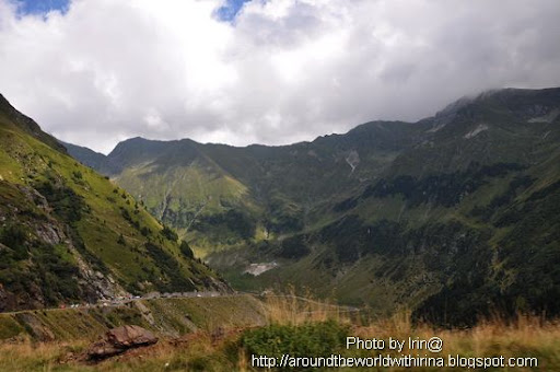
The Transfăgărăşan is the highest and most dramatic paved road in Romania. Built as a strategic military route, the 90 km of twists and turns run North to South across the tallest sections of the Carpathian Mountains, between the highest peak in the country, Moldoveanu, and the second highest, Negoiu. The road connects the historic regions of Transylvania and Wallachia, and the cities of Sibiu and Piteşti.
.
The road was constructed between 1970 and 1974, during the rule of Nicolae Ceauşescu. It came as a response to the 1968 invasion of Czechoslovakia by the Soviet Union. Ceauşescu wanted to ensure quick military access across the mountains in the event the Soviets attempted a similar move into Romania. Consequently, the road was built mainly with military forces, at a high cost both financially and from a human standpoint—roughly 6 million kilograms of dynamite were used on the northern face, and the official records mention that about 40 soldiers lost their lives in building accidents.
.
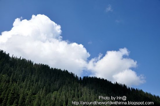
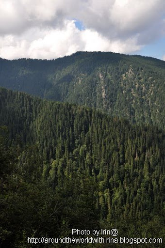
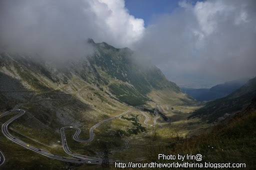
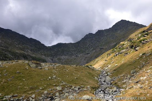
The road climbs to 2,034 metres altitude. The most spectacular route is from the North. It is a winding road, dotted with steep hairpin turns, long S-curves, and sharp descents. The Transfăgărăşan is both an attraction and a challenge for hikers, cyclists, drivers and motorcycle enthusiasts alike. Due to the topography, the average speed is around 40 km/h. The road also provides access to Bâlea Lake and Bâlea Waterfall.
.
The road is usually closed from late October until late June because of snow. Depending on the weather, it may remain open until as late as November. It may also be closed, at times, because of weather conditions (it occasionally snows even in August).
.
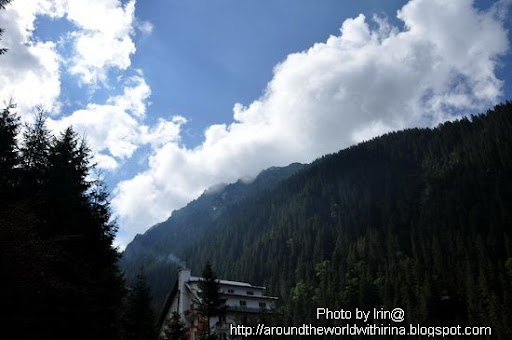
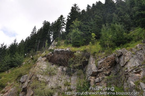
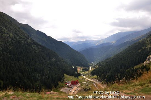
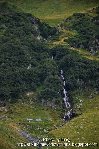
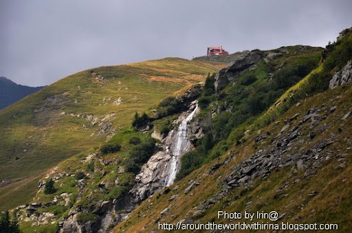
We started from the Northern end of the Road, from Cartisoara. First stop, Balea Waterfall.
.
The road was constructed between 1970 and 1974, during the rule of Nicolae Ceauşescu. It came as a response to the 1968 invasion of Czechoslovakia by the Soviet Union. Ceauşescu wanted to ensure quick military access across the mountains in the event the Soviets attempted a similar move into Romania. Consequently, the road was built mainly with military forces, at a high cost both financially and from a human standpoint—roughly 6 million kilograms of dynamite were used on the northern face, and the official records mention that about 40 soldiers lost their lives in building accidents.
.
The road climbs to 2,034 metres altitude. The most spectacular route is from the North. It is a winding road, dotted with steep hairpin turns, long S-curves, and sharp descents. The Transfăgărăşan is both an attraction and a challenge for hikers, cyclists, drivers and motorcycle enthusiasts alike. Due to the topography, the average speed is around 40 km/h. The road also provides access to Bâlea Lake and Bâlea Waterfall.
.
The road is usually closed from late October until late June because of snow. Depending on the weather, it may remain open until as late as November. It may also be closed, at times, because of weather conditions (it occasionally snows even in August).
.
We started from the Northern end of the Road, from Cartisoara. First stop, Balea Waterfall.
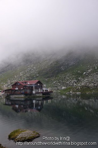
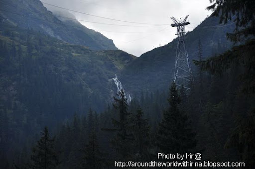 There is a cable car that connects this side of the Road and the top, Balea Lake. Because most of the time the Road is closed, this is the only way of getting up there, even during winter.
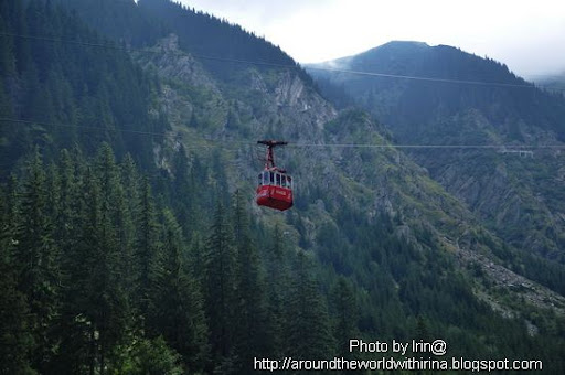

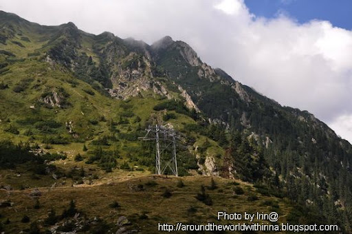
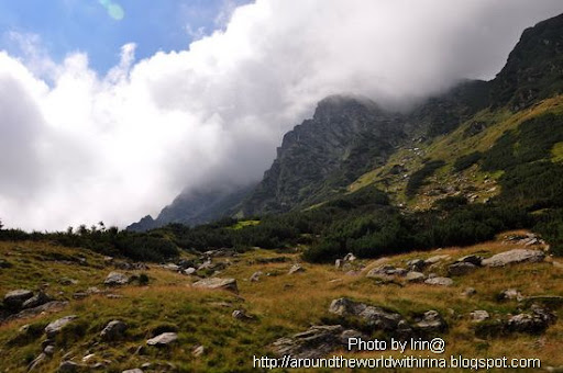
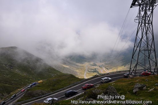
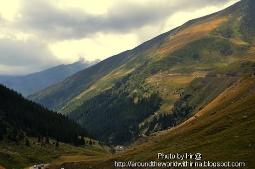
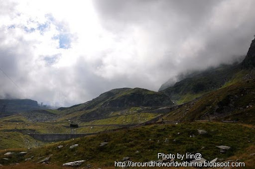 The winding Road
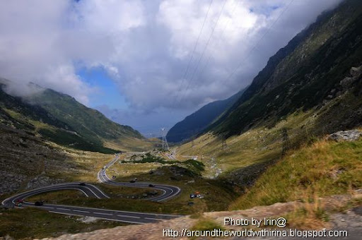
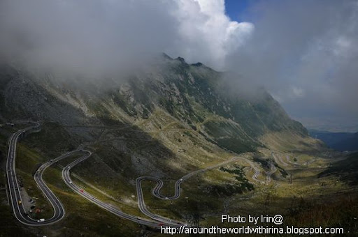
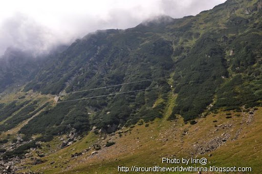
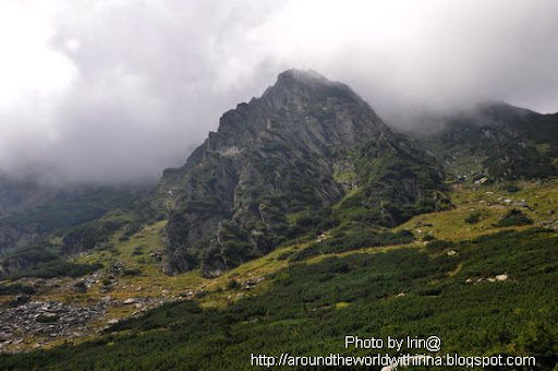
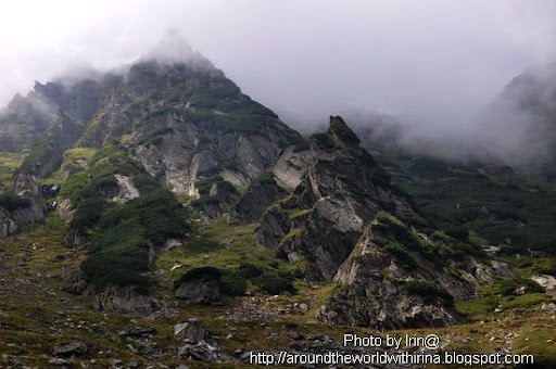
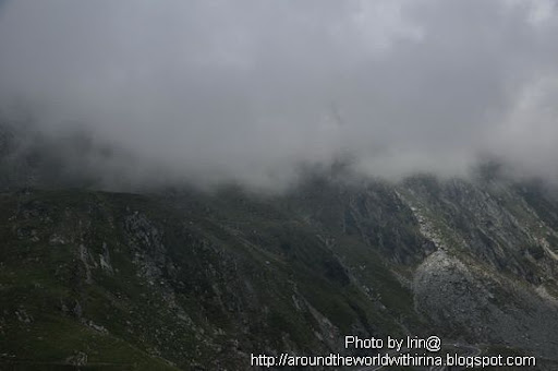
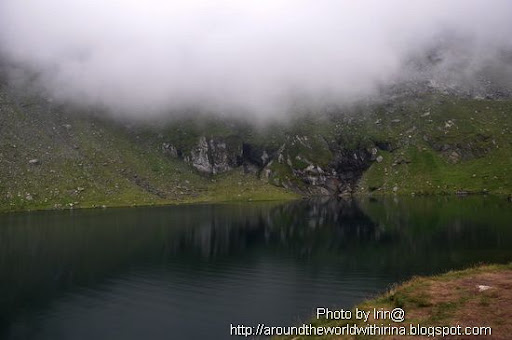
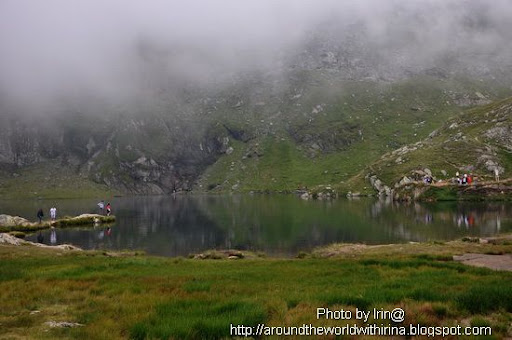
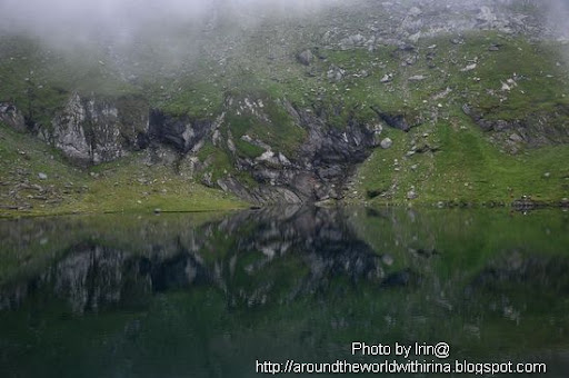
 This is not fog. It's the cloud.
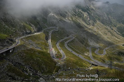


 Balea Lake, 2034m of altitude. It's glaciar.
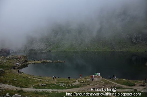
 Going down, on the Souther side, heading towards Vidraru dam
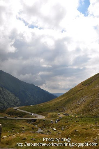

 Vidraru dam, on Arges river. The dam's height is 166 meters, the arch length 305 meters, water accumulation volume 465 million cubic meters, the reservoir has a total shoreline (perimeter) length of 28km. It was built to produce hydroelectricity. There is also a power plant down the river.
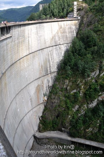 Bungee jumping. 100 euro/jump. See the courageous girl down there?
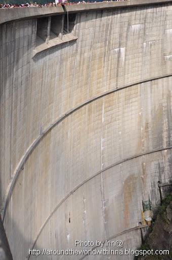 The river, after the dam
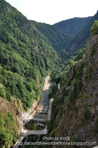 The lake, before the dam
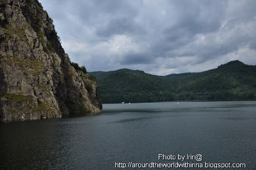 .
.
No comments:
Post a Comment